2 days · 1 night · private
Calchaquí Valleys Express
Cardón forests, colonial Cachi and the high-altitude vineyards of Cafayate, sleeping in the valley.
USD 1,066 for 1 to 4 travellers
Day-by-day itineraryTravel guide · Classic drives
By Pablo Pérez Sancho, tour guide in Salta · Updated November 2026
Two roads leave Salta towards the Calchaquí Valleys. The Cuesta del Obispo, on Provincial Route 33, climbs about 20 km of gravel switchbacks to 3,348 m on the way to Cachi. The Quebrada de las Conchas, on National Route 68, runs through a red-rock ravine protected as a nature reserve on the way to Cafayate. Together they make a loop through the valleys.
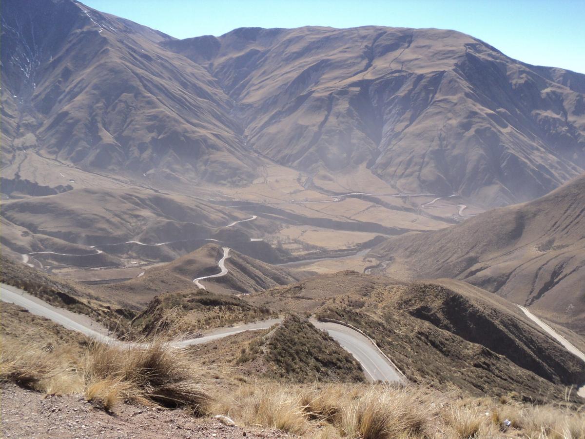
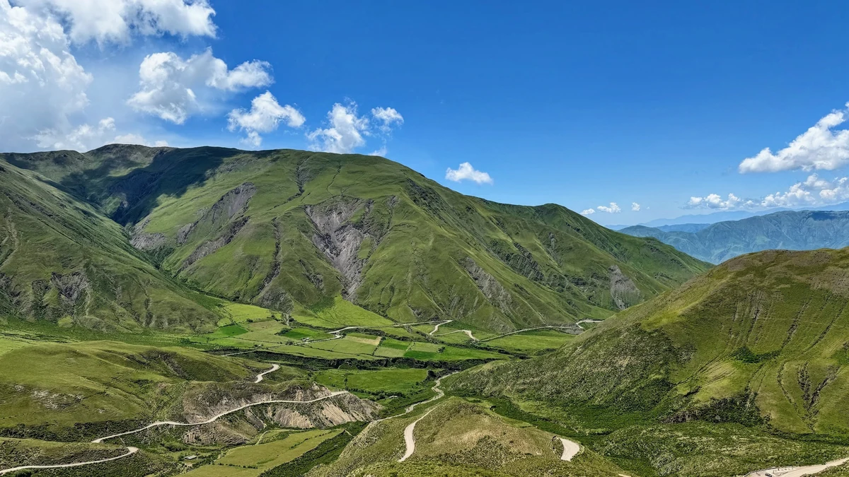
A winding, steep stretch of Provincial Route 33 between Maray, in the Quebrada de Escoipe, and the Piedra del Molino. It rises from about 1,270 m near Chicoana to 3,348 m and is a wide gravel road that is kept in good condition. A viewpoint a few hundred metres below the top shows almost the whole climb. You often see clouds below you and condors overhead.
In 1622 Bishop Julián de Cortázar, travelling from Salta to Cachi, had to spend an uncomfortable night halfway up. The place was named after that stop. At the top, the Piedra del Molino is a granite millstone that was being hauled to Salta, where the city's first mill worked from 1671. The cart broke here, and the stone stayed.
The Valle Encantado, with multicoloured hills, small lagoons and flowers, and then Los Cardones National Park. The Recta del Tin Tin is a 19 km straight road at nearly 3,000 m that follows an Inca route, among giant cardón cacti and grazing guanacos. Cachi is the next stop.
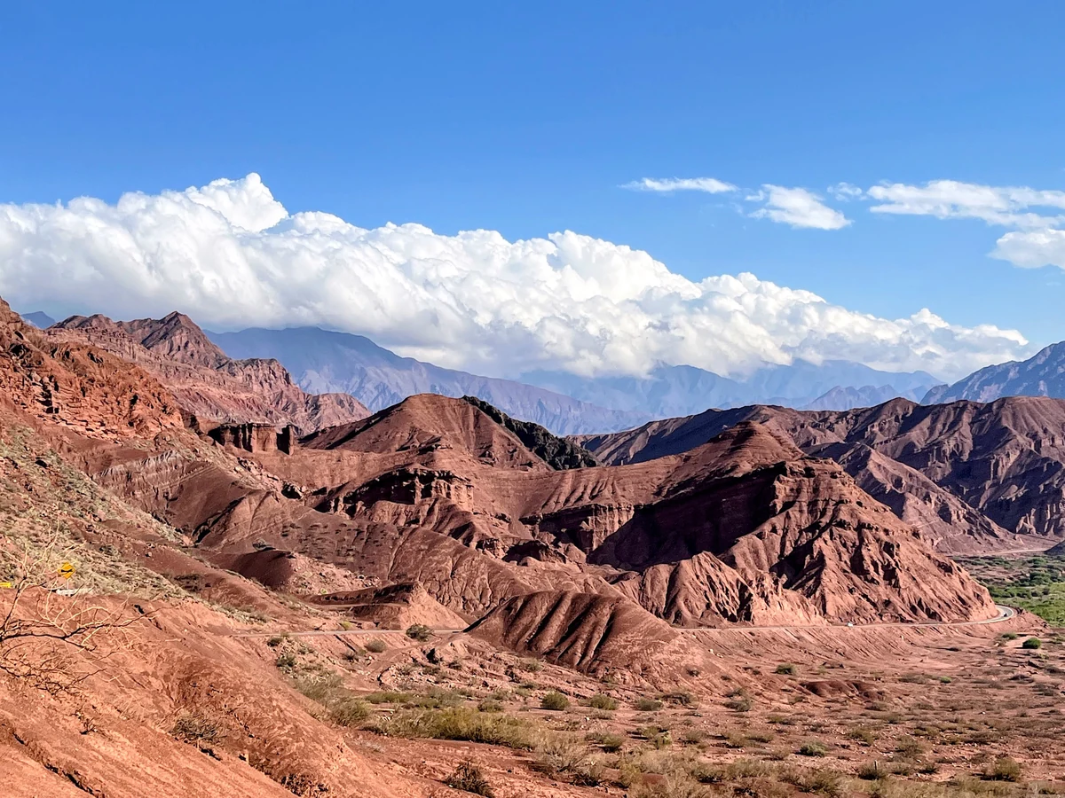
A ravine on Route 68 between Salta and Cafayate, declared a managed nature reserve in 1995. The Las Conchas river runs along the road, and the rock walls are red and orange. The roadside stops are the Garganta del Diablo (Devil's Throat), the Anfiteatro, El Fraile, El Sapo, Las Ventanas and Los Castillos. About 7 km from Cafayate are Los Médanos, dunes of fine sand.
Yes. The reserve is an important fossil site: fossil frogs near Morales bridge, dinosaur footprints in the limestone, and at La Yesera fossil fish from about 15 million years ago. An Inca road was found a few metres from today's Route 68.
Go one way and return the other: out over the Cuesta del Obispo to Cachi, then Route 40 south to Cafayate (156 km, about 4 hours), and back to Salta through the Quebrada de las Conchas. It is a long day by car, so most travellers sleep in Cachi or Cafayate.
Sources: Cuesta del Obispo, Piedra del Molino, Valle Encantado and Recta del Tin Tin: Wikipedia (Cuesta del Obispo). Quebrada de las Conchas, reserve, fossils and stops: Wikipedia (Quebrada de las Conchas). Distances and times: Google Maps. Route 40: see our Cachi guide.
Travel with Pablo
Pablo's Calchaquí Valleys trip is exactly this loop: over the Cuesta del Obispo to Cachi, Route 40 to Cafayate, and back to Salta through the Quebrada de las Conchas.
2 days · 1 night · private
Cardón forests, colonial Cachi and the high-altitude vineyards of Cafayate, sleeping in the valley.
USD 1,066 for 1 to 4 travellers
Day-by-day itinerary4 days · 3 nights · private
Cloud forest, the Quebrada de Humahuaca, the Salinas Grandes, Route 40 and the Cafayate wine valleys in one private loop from Salta.
USD 2,132 for 1 to 4 travellers
Day-by-day itineraryMore travel guides: Best time to visit Salta & Jujuy · Altitude sickness in Salta & Jujuy · Self-drive or private guide in Salta · Salta & Jujuy driving distances · El Hornocal guide · Salinas Grandes guide · Cafayate wine guide · Cachi guide · Quebrada de Humahuaca guide · 5-day Salta & Jujuy itinerary · Argentina for US travelers · Buenos Aires to Salta · Is Salta worth visiting? · 2 weeks in Argentina · Train to the Clouds (Tren a las Nubes) · What to pack for Salta & Jujuy · What to eat in Salta
Plan your trip
Tell him your dates, how many you are and what you'd like to see. Your message opens in your email, ready to send, and Pablo replies with the itinerary and a quote for your private group.